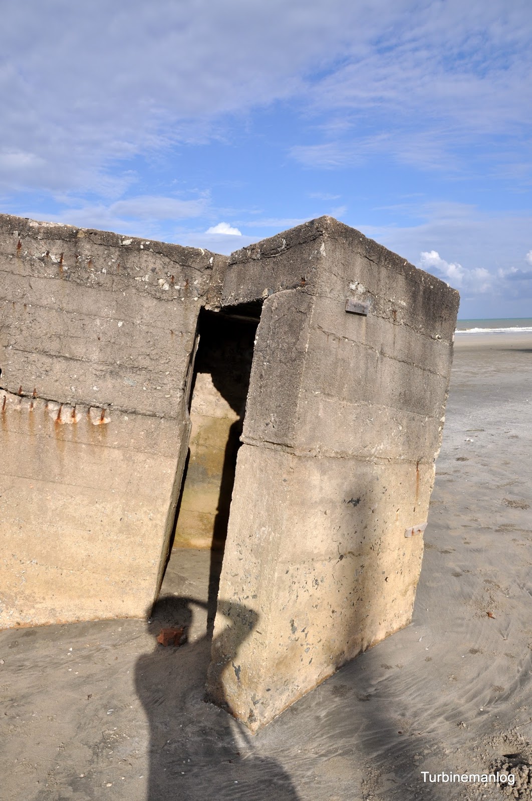
after my last visit 3 years ago
and so much have changed since.

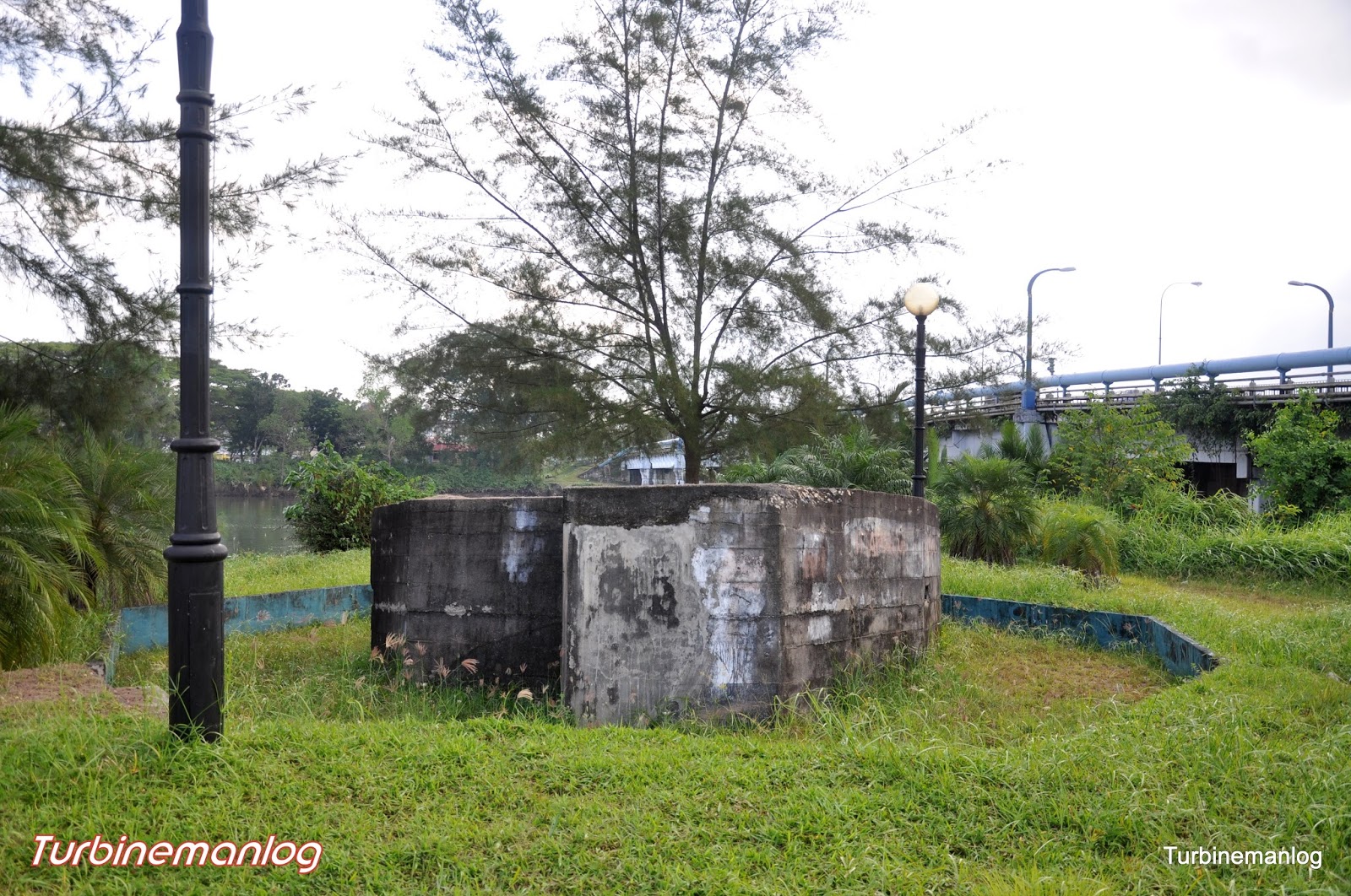
Here is how it looks like 3 years ago
and notice it is tilting in a different position now.




Erosion have exposed an old water well meant for the defenders of this pillbox
from the 22 Indian Infantry Brigade.

http://www.britain-at-war.org.uk/WW2/London_Gazette/Malaya_Command/html/body_p1s6.htm
35. At Kuantan the small cantonment lies a mile or so from the sea in the bend of the Kuantan River. North of the river are some 12 miles of beach suitable for landing. South of the river mouth there are also good landing beaches but a tributary of the Kuantan River blocks the deployment from these beaches northwards. The road from Jerantut (100 miles distant) crosses the Kuantan River by a ferry west of the cantonment. The aerodrome was situated near this road some 7 miles west of the ferry.
The Commander of the Kuantan Force of one weak brigade group which had only moved into position in April, 1941, was instructed that his primary task was to secure the aerodrome for the use of our Air Force and to deny it to the enemy. The beaches were far too long to hold in strength, but if the enemy was allowed to land unopposed he could concentrate a large force for an attack on the aerodrome. Moreover , the slow ferry crossing of the Kuanton River was a source of great weakness. The plan, which I approved, was to deploy one battalion on the beaches, where material defences were constructed, and to hold one battalion for the defence of the river lines and of the aerodrome. I also authorised the construction of a swinging pontoon bridge across the river which, however, owing to difficulty in getting suitable material was not finished in time. Communication with Kuantan was by military wireless and by a civil land line. Both these channels of communication were subject to frequent interruption.

Branches of this uprooted tree seems to be crying out for help.

A panaorama shot of Kuala Sungai Karang,

View Sg Karang Pillbox in a larger map